
HARDSCAPING
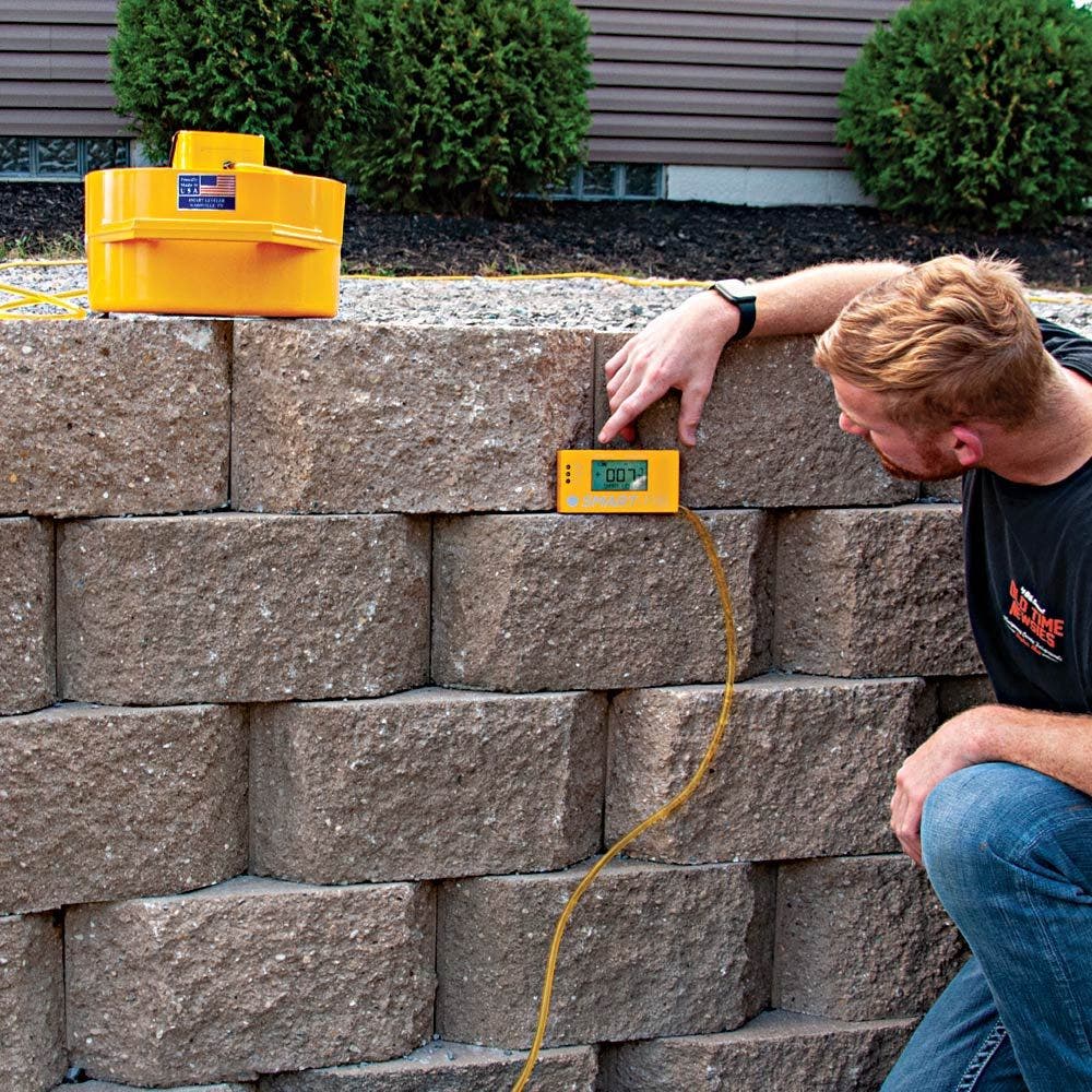
Smart Level is the only precision construction altimeter designed specifically for the Hardscape industry.
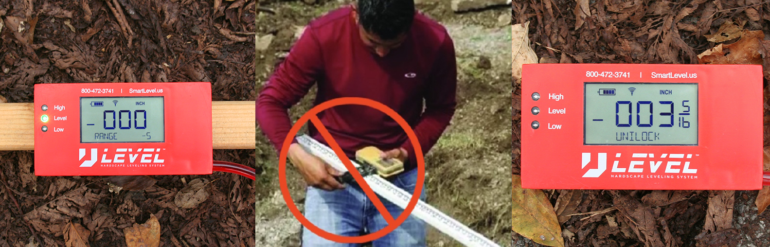
It's a one-man operation and requires no math.
It does everything a laser does just faster and easier and unlike other altimeters, it requires no factory recharge.
Smart Level is the only altimeter on the market with Image Mapping and 3D Terrain Mapping.
Image Mapping plots readings directly into your photo from your phone or drone while 3D Terrain Mapping surveys the job site in true X,Y,Z format for easy upload into CAD.
Life made simple.
MEASURE.
UPLOAD.
DESIGN.


$995.00
Features
Smart Level App Connects by Bluetooth
- View elevation readings in real time or store data for use later.
- Custom Name elevation points. (e.g. – Back Porch Step = 0, South Back Corner = -18.5” etc.)
- Allow the user to plot height, direction and angular measurements, along with notes.
- Generate graphs and charts on your laptop or smart device in real time.
Flexible Increments
- For establishing grades and distances.
Export Data
- Export Data into Excel.
- Export Data as “PNG” image format.
Auto Zero
- Set any point as your “0’ reference point.
Quality Central Processor"
- Captures data points quickly and precisely.
- Backlit display for easy reading in dark or dim lighting.
Imperial or Metric
- Capture data in Imperial or Metric.
- Set your own desired increments.
- Set a custom margin of error for quick calculations.