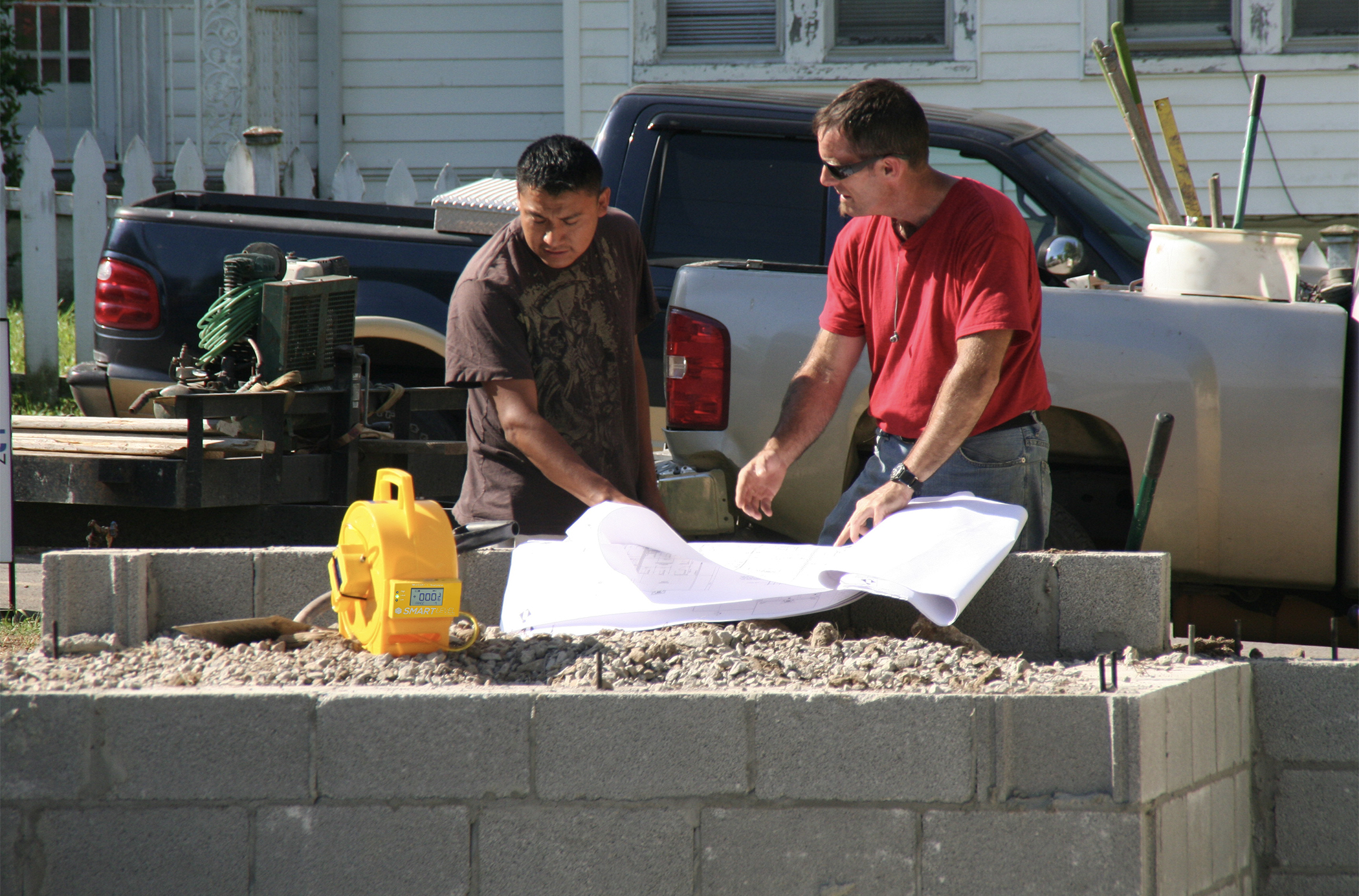
Survey your job site in True X,Y,Z format.
Then upload the .csv or .dxf directly into cad for amazing designs!
MEASURE.
UPLOAD.
OVERLAY.
DESIGN.
BEFORE YOU BEGIN
1. Always make sure your batteries are charged and ready to go.
2. Make sure your Bluetooth is on and connected to the Smart Level.
GETTTING STARTED
1. Decide what area you will be surveying and plan an appropriate route. When planning your route remember that you want to move in a smooth consistent fashion, as straight from point A to point B as possible. Don’t zig-zag and don't carry the phone away from the level. Avoid dragging the tubing over itself as much as possible.
2. Place the monopod where you want to plot your first point and zero out the level.
3. Use the MEASURE button to plot your first point. If you want to attach a photo or a comment to your plotted point, use the CAMERA or COMMENT button to do so before moving to the next point.
4. If at any point you make a mistake and need to delete a point you just plotted, you can use the UNDO button to undo the last plotted point.
5. After you have finished plotting at least 4 exterior points, you can close the perimeter using the CLOSE button.
6. Once you have closed the perimeter, you will use the MEASURE button to plot your interior points.
7. After you have successfully plotted both your exterior and interior points, click the SAVE button.
8. Once you have saved your data, it is now ready to be exported.
Pro Tip: Only plot points when needed to map linear plane changes, dips or hills. Plotting too many unnecessary interior/exterior points can become confusing.
Measure
Plot an exterior or interior point.
Undo
Undo your last plotted point.
Close
Close the perimeter.
Camera
Take a photo of any plotted point.
Comment
Attach a comment to any plotted point.
Save
Save your surveyed work area for export.
Note