
Flooring

User friendly and fast, Smart Level maps/surveys both small and large commercial and industrial floors. Smart Level works around corners, in rooms and hallways, over- around- and behind obstructions digitally recording both elevation and distance readings. No need to double survey an area trying to find the highest spot. Smart Level will auto-adjust your highest point to zero when you are finished and recalculate your other readings accordingly.


Don't have a floorplan, no problem. Just take a photo a drop your height reading directly into the photo.


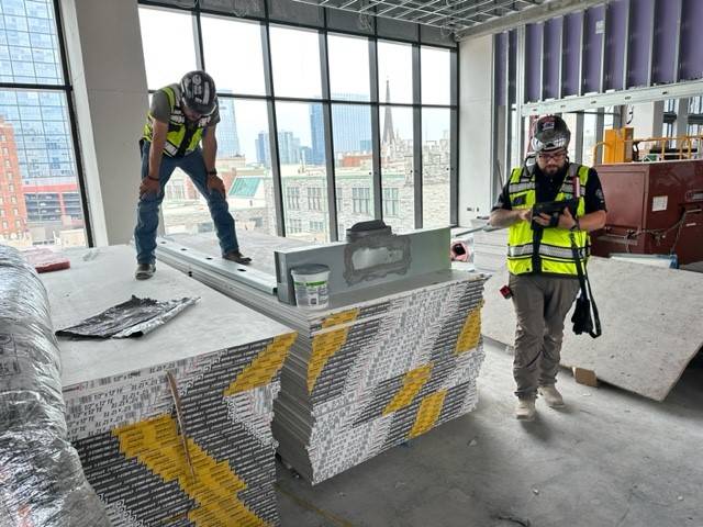
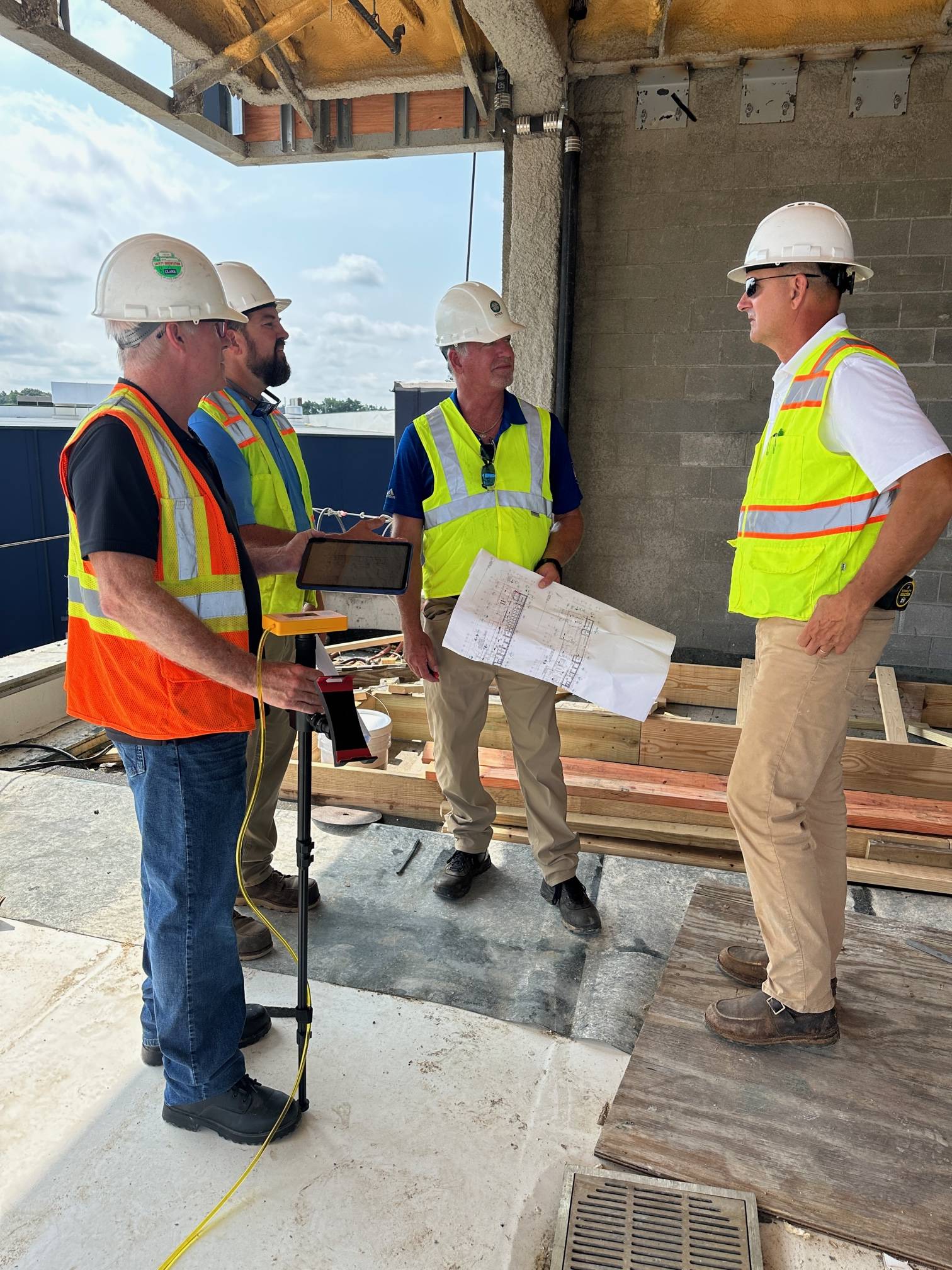
Surveying for the new home for the National Wood Flooring Association in St. Louis with Brent Miller BP of Tech Standards.


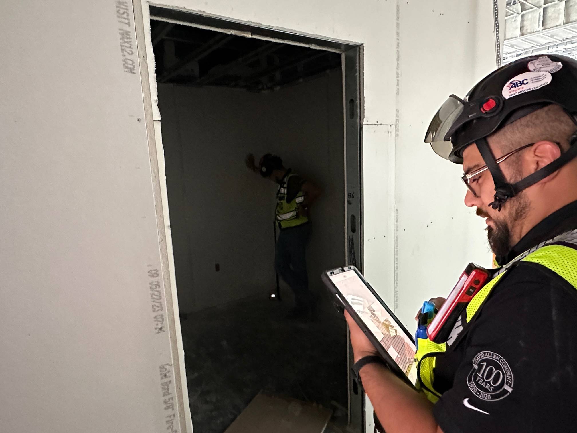
Smart Level works around obstructions for fast, easy, accurate mapping. Even in busy, cluttered job sites.


Smart Level saves time and eliminate mistakes.
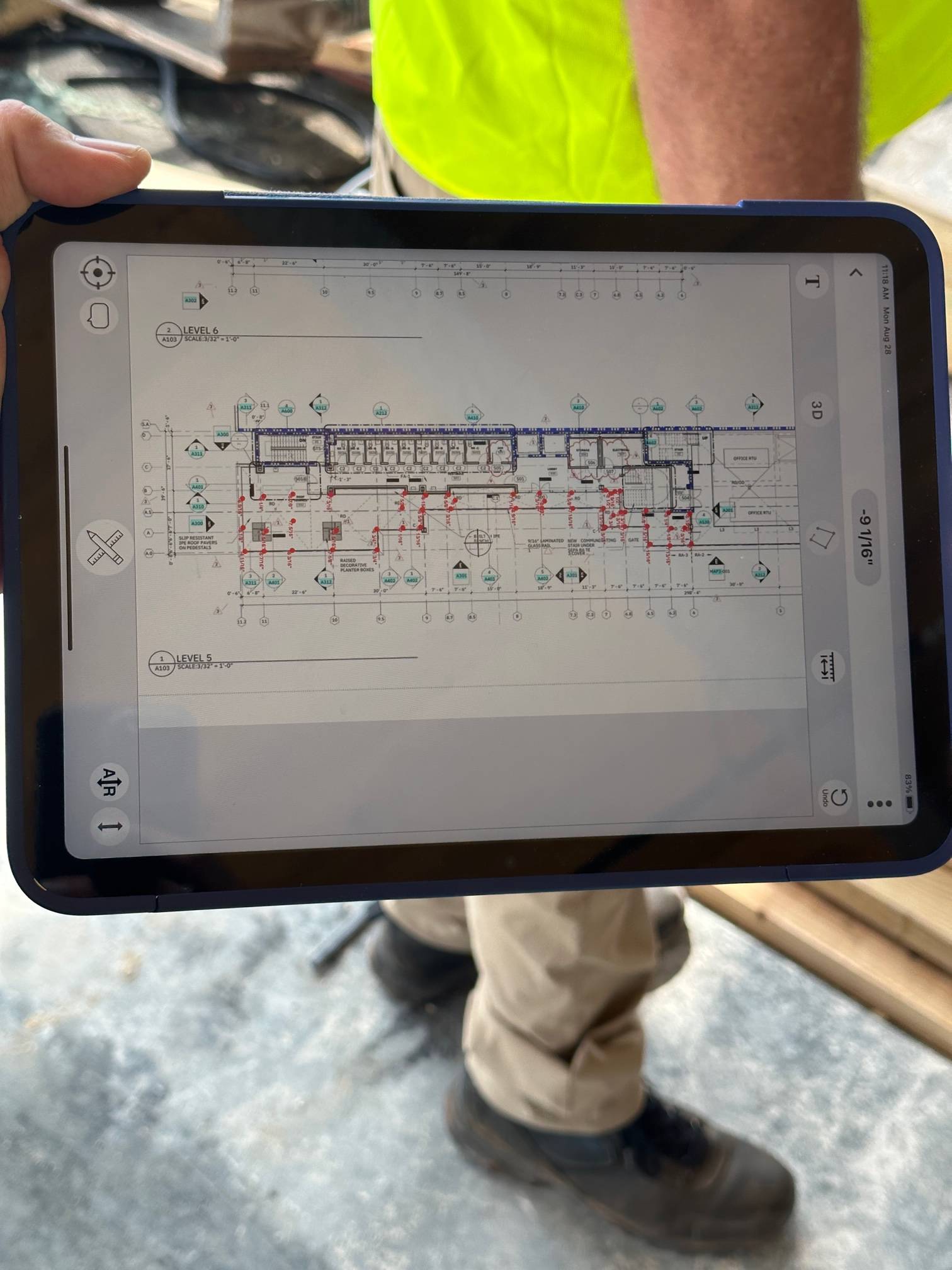
Pedestal Map. Click on Image on map to enlarge.

1.14 [98] is in beta test now. This version has:
- Added protection against losing your data accedentally.
- Unlimited undo function to erase misplaced readings.
- The “3D” button turns the lines completely off. Do this before starting.
- The ability to Zero data to top or bottom reading when saving your data.
- The ability to switch from 1/16th to 1/32nd reading accuracy.
Button Functions in Image Mapping
Tapping 06 (Save Data) will slide the screen over and display Save Plot, Email Plot, or Share Plot. Save first.


Tapping the 3 dots right side of Image Mapping brings you here:
When you save data you have the option to “Zero to Top” or “Zero to Bottom”

On Home Screen:
Tap “resolution” for 1/16 or 1/32”, Tap “sliding bar” to set range. Tap “Sliding Bar” to set range


